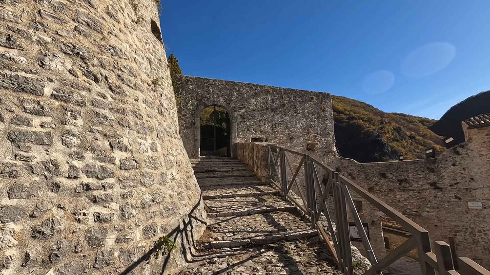
The trekking starts in Gavelli, a small medieval village perched at 1,100 metres, which seems suspended in time. Leaving the village, take the CAI path (generally marked in white and red) that climbs in a north-easterly direction.
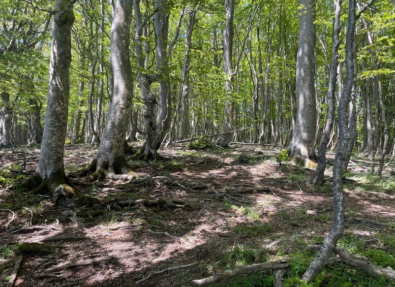
The first part of the route winds through a dense and cool beech forest. The slope is constant but never prohibitive. As you ascend, the forest begins to thin out, giving way to imposing high-altitude meadows and mountain pastures, historically used for transhumance.
The conquest of Mount Coscerno (1,684 m)
Once you have left the woods for good, you find yourself on the wide summit plateau. Here the trail bends towards the ridge of Mount Coscerno. Walking on the ridge is an exciting experience: the wind is biting and the view opens up over the entire Spoleto basin, the deep Valnerina and, on clear days, the Sibillini mountain range to the east.
Reaching the summit cross at an altitude of 1,684 metres is well worth the effort. The summit of Coscerno is an extraordinary natural balcony, characterised by a karstic, barren, and wild environment, where it is not uncommon to spot buzzards, wolves (or their tracks), horses, and grazing animals.
From the summit begins the second half of the itinerary, which is entirely downhill. Follow the northern/northwestern ridge, gradually losing altitude among pastures and rocky outcrops, heading towards the saddle below. The trail gradually re-enters the vegetation, alternating stretches of coppice forest with clearings.
The last part of the trekking offers picture-postcard views of Vallo di Nera, one of the most beautiful villages in Italy. The village looks like a perfectly preserved stone castle, nestled on a hill overlooking the Nera River.
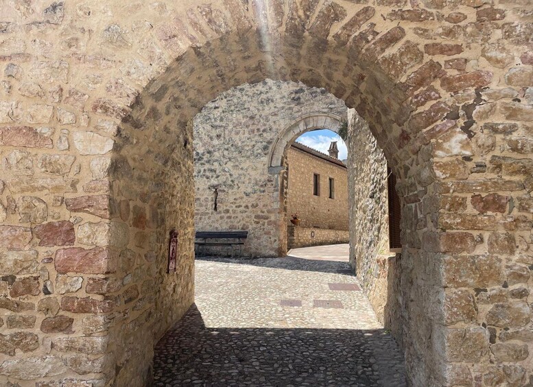
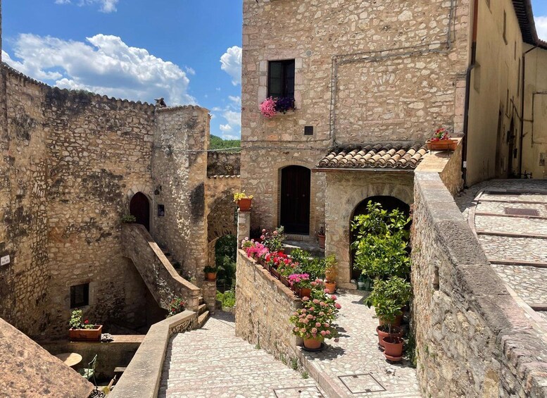
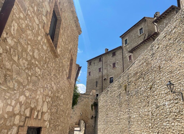
The trail ends right at the gateway to the medieval village. Wandering through its narrow cobbled streets, the alleys topped by stone arches (the characteristic “ruoti”), and the ancient Romanesque churches is the best way to end a day of walking immersed in the history and nature of Umbria.